Drone Services
Experience a New Level of Capability and Efficiency with DPK’s Drone-Based Services
Adding a fleet of enterprise-grade drones to our already broad platform of surveying and 3D scanning services significantly heightens our industry-leading offerings. UAV technologies, along with our commercially licensed, OSHA trained, FAA drone pilots, enable us to enhance and expand our value in the environmental, civil engineering, property and commercial construction markets through increased process efficiency, more comprehensive field data and a wide array of new deliverables.
It also enables us to leverage this advanced technology for an extraordinary number of new market applications, such as aerial photographic and video inspection in previously inaccessible environments, 3D modeling, infrared and multispectral scanning. Once all field data is collected, DPK’s expert GIS and CAD teams will isolate and extract the specific deliverables you need. DPK has also developed a time saving Client Portal that provides highly efficient access to your files and unique deliverables.
DPK offers innovative drone-based services in the following market segments:
Environmental
- General Aerial photo/video imagery
- Aerial mapping/photogrammetry
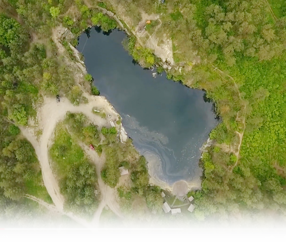
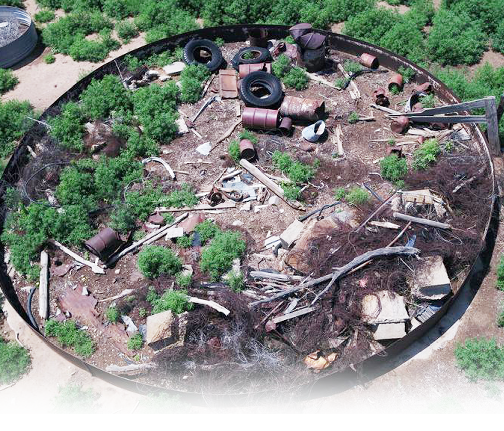
- Abandoned waste sites source/contaminant delineation
- Property due diligence
- Wetlands mapping
- Aquatic and terrestrial invasive species mapping
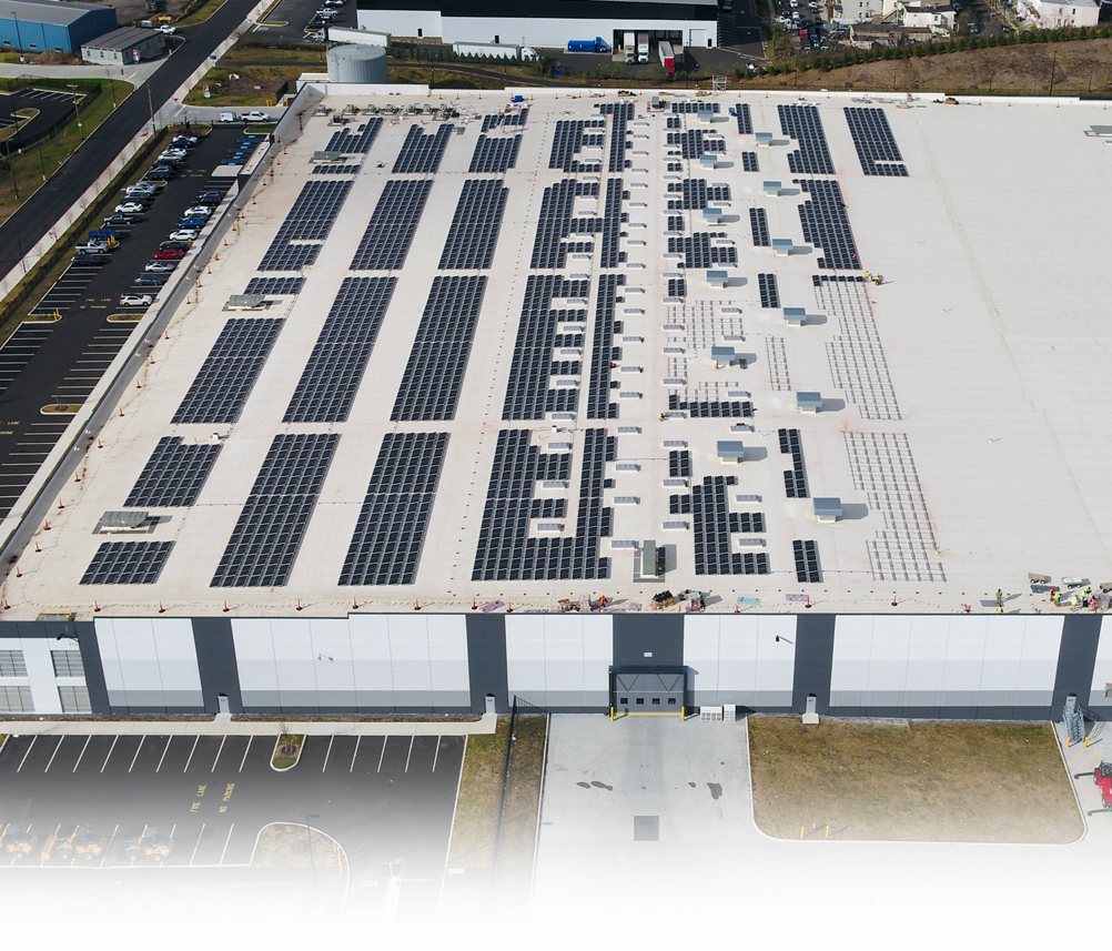
- Solar Farm Performance Monitoring
- Landfill design, construction, and post closure monitoring
- Vegetative distress – tree canopy assessment
- Surface water – groundwater interactions
Commercial Property Development
- General Aerial photo/video imagery
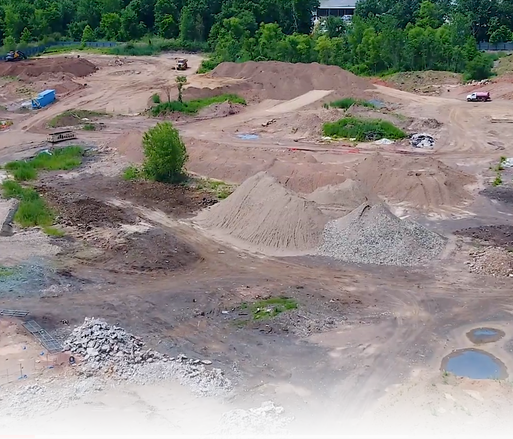
- Construction planning and site monitoring
- Asset management
- Roof and elevations inspections
- Building energy loss (thermal scans)
Construction
- General Aerial photo/video imagery
- Construction planning, layout, monitoring and As-built
- Remote/Autonomous Site Monitoring
- Solar Power construction, commissioning, and monitoring
- Progress monitoring
- Planimetrics/ Volumetrics
Engineering/Infrastructure
- General Aerial photo/video imagery
- Utility/Open space/Pipeline corridor mapping
- Powerline vegetative encroachment
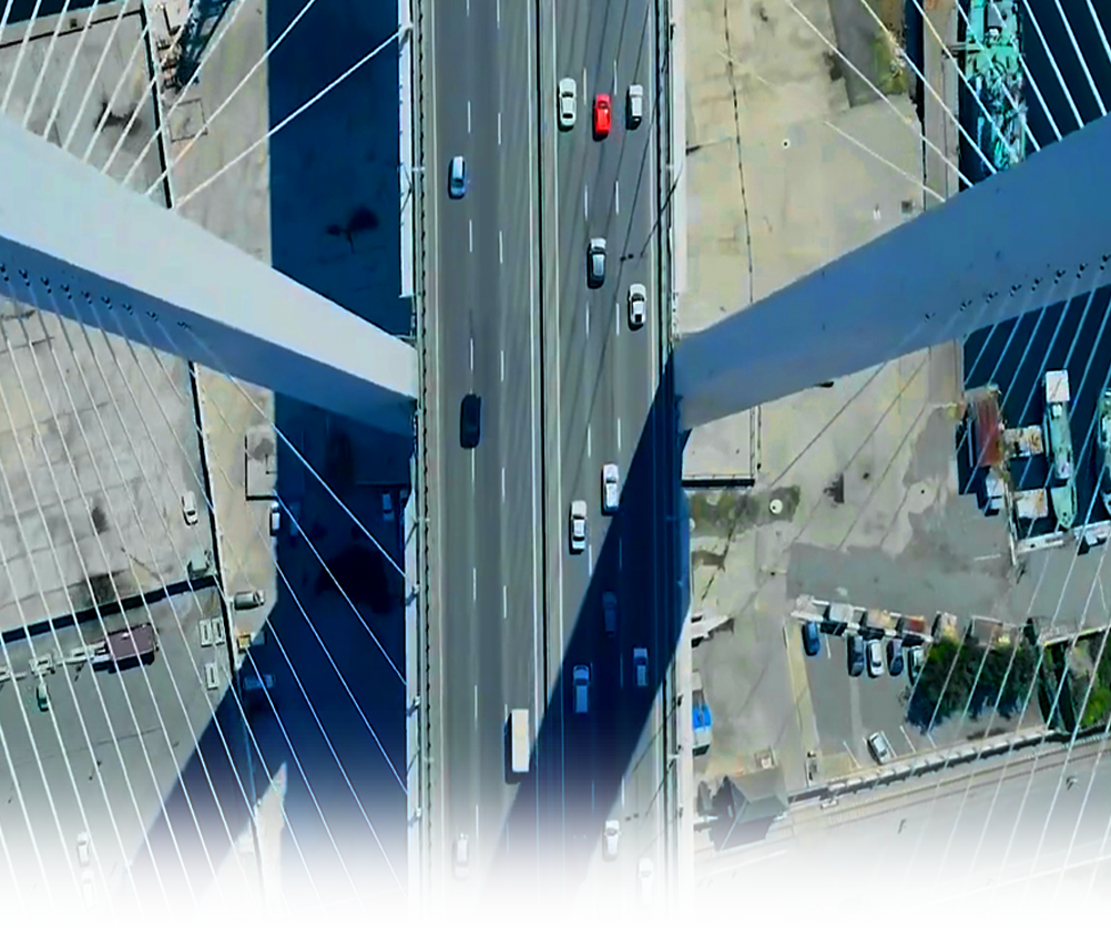
- Highway, roadway, and rail corridor mapping
- Roadway hazard inspection
- Roadway hazard assessment
- Infrastructure inspection
- Pavement condition assessment
- Golf course turf management
- Traffic monitoring
- Dam, tailings pond and impoundment mapping and seepage assessment
- Storm/Disaster Emergency Response
- Solar farm siting, construction, commissioning, and monitoring
- Settlement/heave monitoring
For more information on our extensive Drone services, contact James Heiser JHeiser@dpkconsulting.net or Ray Hyman Rhyman@dpkconsulting.net. Call 732-764-0100 to discuss your next project.
To request a quote online, click https://dpkconsulting.net/quick-quote/ and share the details of your project 24/7. Thank you.
Videos
Aerial Construction Site Monitoring
Surface Water to Ground Water Interactions


