Selected Project
Pennsylvania Land Fill – Ground Control to Major Tom…
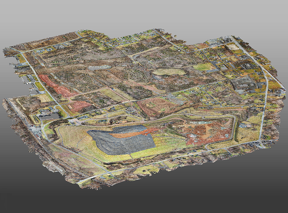
Ok, so we’re not talking about a famous song, or NASA managing a flight in space. However, if you think flying a drone to map a 650-acre landfill that required highly accurate geometry and topographic elevations is easy, READ ON and learn why working with experts like DPK is key to advancing your project initiatives!
DPK Consulting’s Geospatial Division shines brightest when project parameters are challenging.
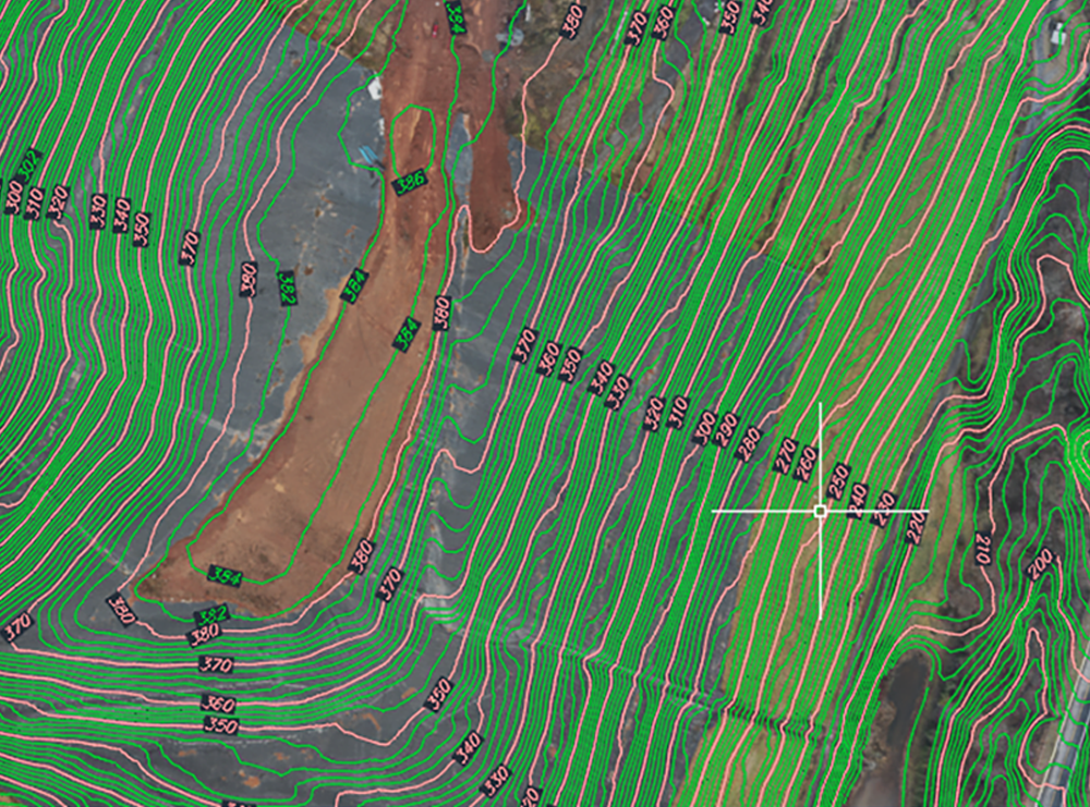
This project required more inadept precision planning due to ground conditions such as vegetated areas, fencing, ponds, and buildings. The landfill portion of the property rose 250 ft. above the lowest to its highest point.
DPK pilots met with the project team to discuss the project requirements. They were then able to determine the appropriate drone flight mode to utilize ultimately going with a Terrain Fallowing setting. The drone was also equipped with aerial LiDAR technology. The size of the site required more boots on the ground positioned so that keeping the drone in line of site could be maintained at all times. Additionally, DPK’s team assessed and expertly placed additional ground control points to ensure accurate georeferencing of the data.
With field work completed, DPK was able to manage the collected data without a challenge. Our experienced CAD team and highspeed processing systems advanced the target deliverables from an extraordinary amount of field data very efficiently.
DPK achieved excellent quality control by utilizing their internal layered QC system. They also provided a detailed topographic data review with their client comparing the new data with previous years topographic information.
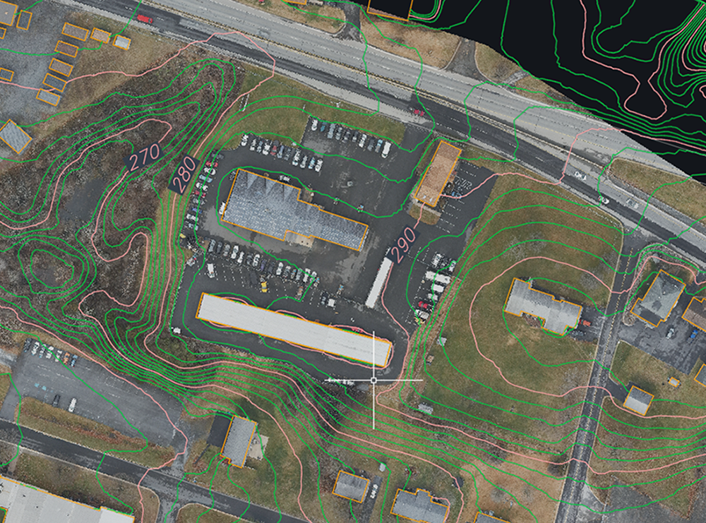
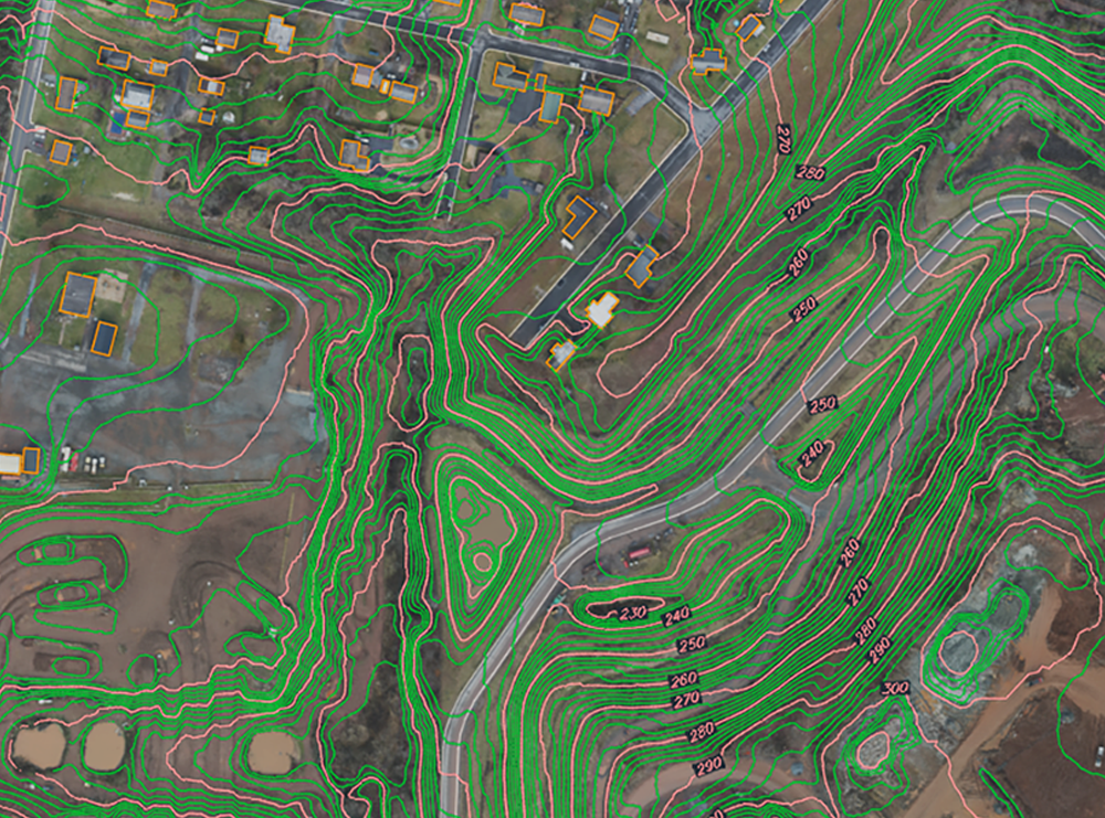
The DPK team helped their client achieve required compliance for annual topographic survey for sanitary landfills. They successfully delivered georeferenced, ortho-rectified maps of the subject areas with labeled contour elevation data, oblique property imagery and high-definition video.
LEARN MORE about DPK’s unique services and interstate surveying reach by calling James Heiser or Ray Hyman at 732-764-0010. From traditional surveying to the latest geospatial tools, such as 3D scanning and powerful drone technology, DPK creates an approach that delivers value beyond the initial scope of work.
EXPERIENCE Service Without Boundaries. Call DPK Today, 732-764-0100


