3D Scanning Projects
Manhattan NY – Gothic Revival Church
Huntington NY – Roadway Utility Upgrade
Manhattan, NY – Mixed Use Building Renovation
Lower East Side New York – Infrastructure Upgrades
Rahway, New Jersey – Infrastructure Updates
Brooklyn, NY – Scan 11 Story Building for Remodeling Project
King of Prussia, PA – Scan Aldi Grocery Store Infrastructure
Selected Project
DPK Leverages 3D Scanning Tech to Support a Roadway Utility Upgrade
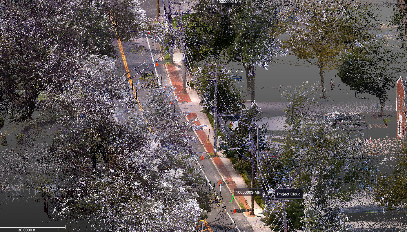
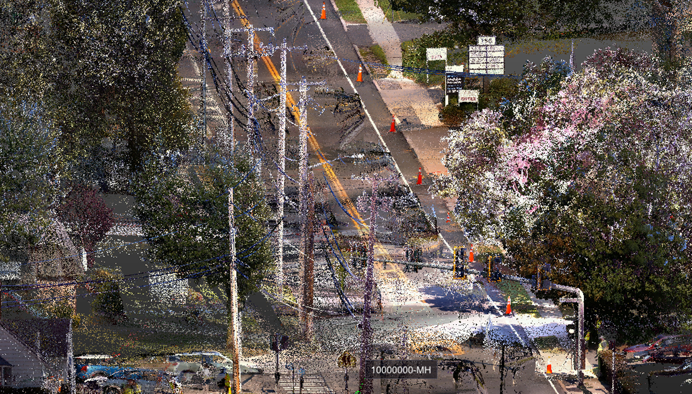
A large utility company in Long Island, NY needed to run new wires along a 2-mile span of roadway. A PERM 75 Survey was required by the New York State DOT.
Because the roadway was heavily traveled, DPK relied on its comprehensive health & safety training to protect its team and equipment. They successfully capture the specified span of utility features and other property assets without incident.
The customer site was roughly 2 to 3 hours from DPK’s Edison headquarters. If a traditional surveying approach on the ground was chosen, the project could have taken 2 to 3 weeks. Using their 3D scanning technology, a Trimble X7 and TX8, they were able to collect the data 3 days.
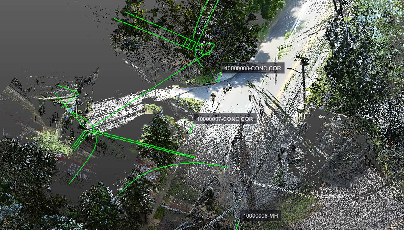
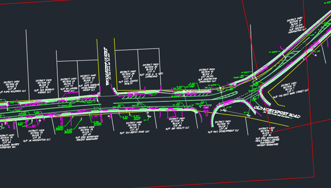
The scanned data collected required approximately 130 scanning stations along this stretch of roadway to ensure that all assets were captured with great accuracy and sufficient resolution. It was then processed to create a comprehensive point cloud in DPK’s CAD department where specific features were identified and highlighted.
The customer’s scope of work required the mapping of all site features within the right of way, including every utility pole and all existing wires. DPK was assigned a starting pole and ending pole on this active roadway and flawlessly scanned and mapped everything in between.
DPK Consulting is using their geospatial technology to serve multiple industries, including land development, engineering, construction, utilities, facilities management, environmental investigations, and site remediation systems layout. The applications, value and efficiencies created by 3D scanning and drone technologies are ever increasing.
To speak with a DPK representative, call 732-764-0100 and ask for James Heiser or Ray Hyman.


